Aerial Mapping: Photogrammetry
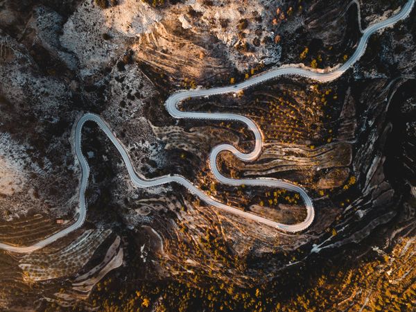
By Ts. Ling, Thomas Kiong, MIEAust., PMP, MMIM. What is aerial mapping? Aerial mapping is used to conduct map plotting through imaging and data gathering from above through aerial methods. In ancient days, cartography used the known distance between places and landmarks to plan triangulation before the map illustrates the...
